

Tahiti world map: where is French Polynesia in the Pacific Ocean?
Tahiti
Tahiti is the largest island in French Polynesia. It is located in the Pacific Ocean and is part of the Society Islands. Tahiti is known for its white sand beaches, clear turquoise waters, and rich and diverse culture. It’s hard to find a world map that doesn’t show where Tahiti is in the Pacific Ocean.
French Polynesia
French Polynesia is an overseas territory of France. It is located in the southern Pacific Ocean, about 6,000 km southwest of Honolulu (Hawaii), 15,000 km from Paris (France) and 4,000 km east of Australia. . French Polynesia is made up of five archipelagos, comprising 118 islands, atolls and coral reefs. The best known islands are Tahiti, Bora Bora, Moorea, Huahine, Raiatea and Taha’a.
Map of French Polynesia
The map of French Polynesia shows the location of the archipelago in the Pacific Ocean and the position of each of the islands. The map also shows the distances between the islands and the main cities of metropolitan France and the United States. One can easily find this map online or in tourist guides.
The islands of French Polynesia
The islands of French Polynesia are divided into five archipelagos:
- the Marquesas Islands, located northeast of Tahiti
- the Tuamotu Islands, east of Tahiti
- the Society Islands, where Tahiti, Bora Bora, Moorea, Huahine, Raiatea and Taha’a are located
- the Austral Islands, located south of Tahiti
- the Gambier Islands, east of the Austral Islands
Tahiti on the world map
Tahiti is located in the Pacific Ocean, far from mainland France and Europe. It is also far from the United States, Australia and New Zealand. To find Tahiti on a world map, focus on the Pacific Ocean and look for the archipelago of French Polynesia. Tahiti is located in the Society Islands, in the center of French Polynesia.
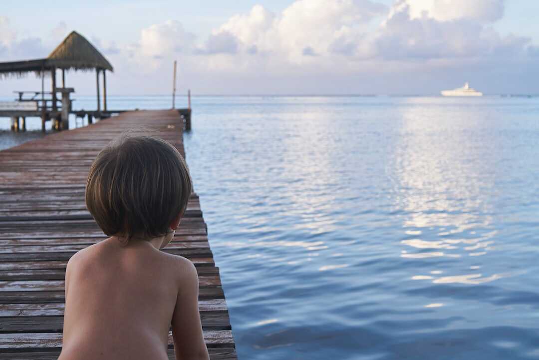
Tourism in Tahiti
Tourism is one of the main industries in French Polynesia, and Tahiti is one of the most popular destinations. Visitors come to relax on the white sand beaches, scuba dive in the crystal clear waters, explore the islands by boat or helicopter, and experience Polynesian culture. Hotels and resorts are well developed, offering a wide choice of accommodation, restaurants and activities.
FAQ’s
What is the distance between Tahiti and France?
Tahiti is located about 15,000 km from Paris, in metropolitan France. It takes about 23 hours of flight to get from Paris to Tahiti, with one or more stopovers.
When is the best time to visit Tahiti?
The best time to visit Tahiti is from May to October. It is the dry season, with pleasant temperatures and little rain. The peak tourist season is from July to August, but it is generally less crowded in May, June and September.
It is relatively easy to move between the islands of French Polynesia. Local airlines offer regular flights between the islands, and it is also possible to travel by boat. Transfers between islands can be arranged by hotels and travel agencies.
Heaven on earth is finally explained with this world map of Tahiti. If you’ve ever dreamed of visiting this South Pacific island, this map is a must. With its golden beaches, crystal clear waters and rippling coconut palms, Tahiti is not only beautiful but also offers authentic island life and rich culture. Located nearly 10,000 kilometers from mainland France, Tahiti is a unique vacation spot that everyone should experience at least once in their lifetime. To help you prepare for your trip to this exotic destination, this map provides information on the various tourist sites, possible modes of transport and even flight prices.
With this map you can also discover the beauty of the archipelago of French Polynesia, where Tahiti is located. This little corner of paradise is made up of five archipelagos, which are divided into 121 islands and atolls. The map shows you how to get to these other exotic islands to see their natural wonders and learn about their unique cultures.
This card is therefore essential if you are planning a trip to Tahiti or the surrounding islands. It shows you where Tahiti is and how to get there, as well as the other islands of the French Polynesia archipelago. Come and discover the white sand beaches, crystal clear waters and rippling coconut palms of Tahiti and the surrounding islands using this helpful map. So plan your dream trip to this beautiful island destination now. To find out more, consult the world map of Tahiti by following the following link: Tahiti: where is it and how to get there on a world map.
What is the currency used in French Polynesia?
The currency used in French Polynesia is the Pacific franc (XPF). It is linked to the euro and has a fixed exchange rate. Credit cards are widely accepted, but cash is recommended for small purchases and tips.
Conclusion
Tahiti and French Polynesia are exotic and distant destinations, located in the Pacific Ocean. To find Tahiti on a world map, you have to focus on the archipelago of French Polynesia, located in the center of the ocean. Tourists come from far and wide to discover the white sand beaches, the clear waters and the rich and diverse Polynesian culture. The islands of French Polynesia offer an unforgettable adventure and a unique travel experience.